![]()
The thing that made this ride a little more challengin is that to get anywhere towards the inside of the island, you have to go up insane 84 degree inclines. No matter how in shape you think you are, you are totally not ripped enough to make it up on your bike. We passed an older couple trying to cart up stuff. I can't imagine having to do that everyday. I would grocery shop once every 2 months if I had to do that. Then again, if I were living on the island, I would probably be able to hire some poor sucker to do it for me.
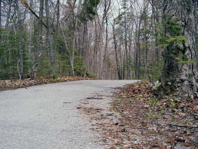 On the inside of the island, there are a number of bike paths that are called roads, barely enough room for one bike to pass another going the opposite direction. Very hilly, very beautiful. A really satisfying ride in comparision to most of the flat paths we have down in the lower half of the state. We didn't really know where we were going, just a general idea of where we were in relation to the island. At a certain point, we had gotten winded, and this is one of the pictures we took. The perspective is about 3 inches from the pavement.
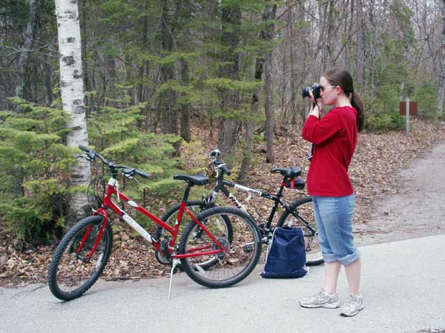
If you were to have been there, this is what you would have seen any time we were off the bike. Considering the time of the year it was, we only saw other bikers once the entire 90 minutes that we were on the paths away from the city.
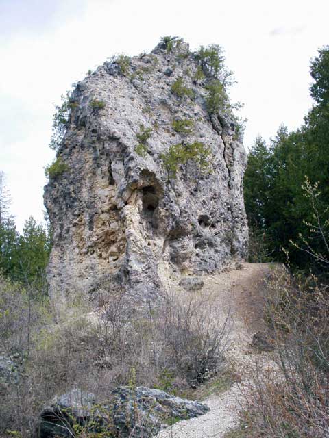
At one point we turned a corner and came to a clearing. I instantly stopped the bike and went for the camera. This clearing had this tall, impressive rock. It was HUGE. Apparently it's called Sugar Loaf. I came up with some of my own clever names, but we'll talk about that some other time.
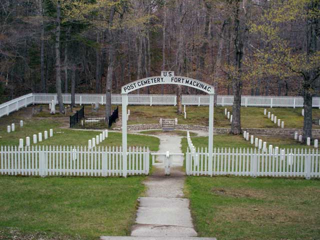
As we got closer to the center of the island, we found two cemeteries, one of them a military cemetery. It was impressive. Unfortunately, there are a number of plots that were laid, and due to weathering and poor record keeping, they don't know who is in every grave aside from the fact that it was a U.S. soldier.
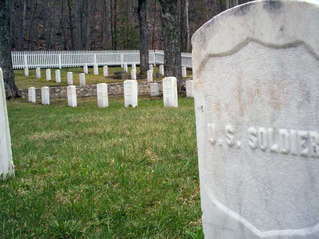
One of the unknown graves overlooking the rest of the cemetery.

As we continued to spiral upwards to the top of the island (as well as taking a few off road trails), we made it to an overlook that showed Sugar Loaf again. The paved intersection is where the first picture was taken. We stopped, took YET ANOTHER hundred or so pictures of the rock, and continued up the road. Eventually it started to look very familiar... It was Fort Holmes Condor.